TravelByDrone
Take an aerial tour of the world from your own home with a new platform that collates user submitted drone footage

One of the nice things about travelling by plane is taking in the sights during take-off and landing, and now a new online resource lets you take an aerial view of the world without the carbon footprint and from the comfort of your home.
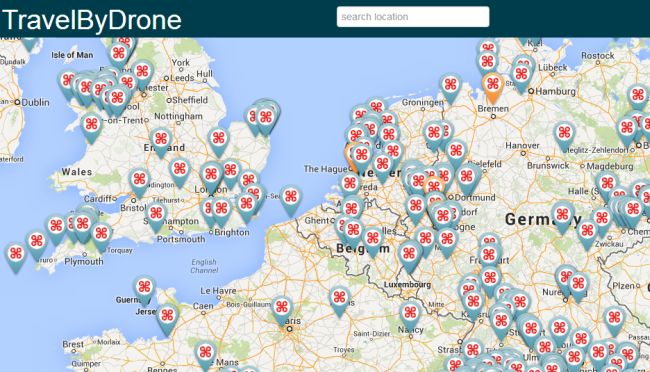
TravelByDrone is a world map which collates high quality, video footage shot from the skies by unmanned aerial vehicles. Icons are pinned to areas where footage has been taken and can then be clicked on and watched. Anyone can share videos, with the only caveats being that it's taken by a drone not of a drone, is good quality, and can clearly show the area in which it's flying. Sensitive materials like indoor, military or promotional shots will, sadly, be rejected.
The team has essentially provided a simple platform made out of a mishmash of other technologies. All videos are from YouTube while the map is by Google, and, of course, the videos themselves are user made and submitted.
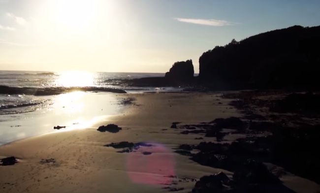
Clips have emerged from all over the world already - from Taiwan to Vietnam to the UK and the Mexico and the USA, demonstrating just how common drones are becoming. And now that it's a piece of cake to make your own, like with Jasper van Loenen's Drone It Yourself, perhaps that's not surprising at all.