The Responsive City
The Big Apple's introducing an innovative, interactive map system to make getting around the city easier and more enjoyable.


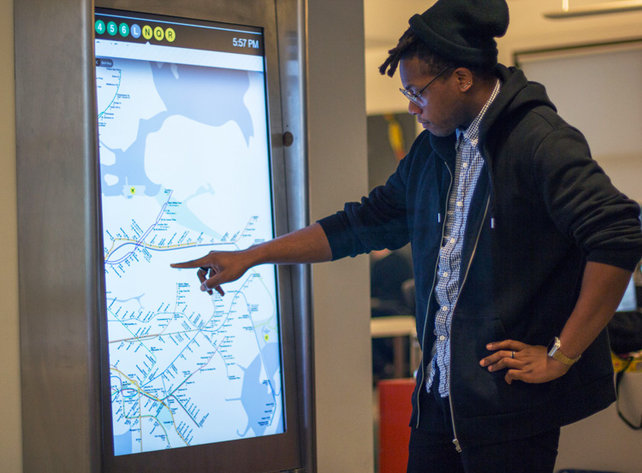
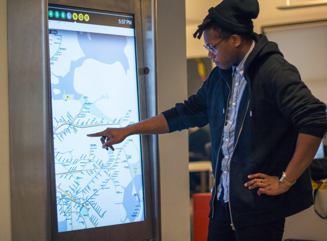
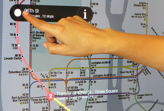
We recently looked at the on-train digital library but it seems the the tech renovation of New York's underground system isn't over yet. The New York Metropolitan Transport Association is set to roll out interactive, touch screen displays courtesy of Control Group. These screens will bring a digital element to one of the worlds oldest subway systems, allowing users to check routes, train schedules and receive real time transport warnings.
The 47 inch monitors are integrated with video cameras, microphones and notably, their own Wi-Fi network. Users will be able to download maps and tourist information directly onto a smart phone, as well as applications and games to encourage interaction with other commuters between journeys.
Enhancing trips to New York for tourists, the displays will feature seasonal directions to famous New York landmarks (Central park in summer, Rockefeller Centre in winter). It would be interesting to see if technology like this could be adopted worldwide; if digital innovation could revolutionise our relationship with the navigation of major cities.


Discussion