Dronestagram
The invisibility of military technology is countered by an Instagram intervention


Seeing the world as the machines do is proving a fertile ground for artists and designers (see Timo Arnall's robot readable world for more) to produce provacative works. James Bridle's Dronestagram is an instagram feed that is a mash up of Google Map imagery and contextual data to provide a “drones eye view” of contemporary military technology.
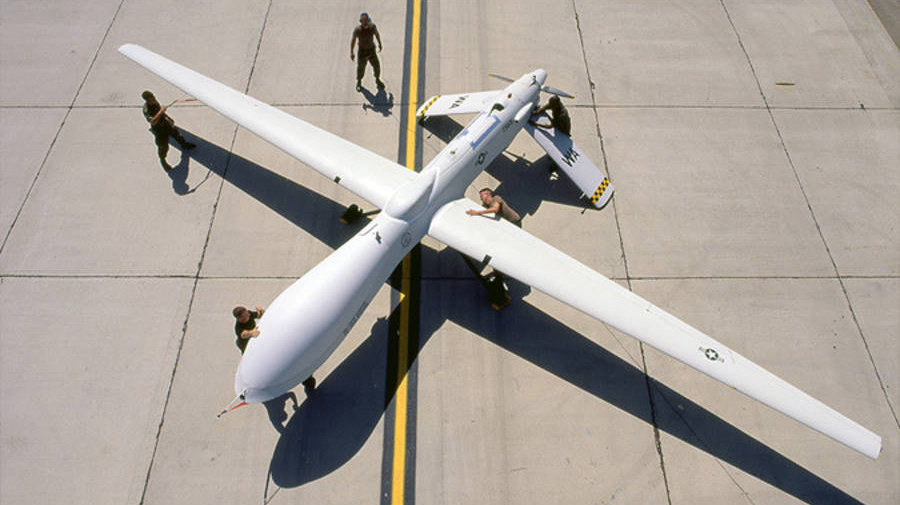
Drones, or unmanned aerial vehicles (UAVs), are an increasingly utilised element of the USA's airforce. The aircraft are operated by air force pilots thousands of miles away in the United States, and fly 15 kilometres or more above ground. Dronestagram spotlights reported sites of drone bombing attacks, using data supplied by the Bureau of Investigative journalism. The contextual data is included alongside an aerial photo of the site, and instagram filters are applied for good measure.
Both users and brands concur that the allure of a social network is the sense of proximity it engenders. Distance and (in)visibility are the reasons Bridle chose the popular photo sharing network as the medium for the project. He is most concerned with the lack of awareness around drones: the gulf between aircraft and pilot mirrors the gap in public awareness about the use of this technology. Sharing a different point of view than food snaps, sunsets and all things cute is certainly an interesting addition to the instagram ecosystem.
Discussion