3D Printed Maps
Zoom in to these highly detailed maps which can be manipulated and 3D-printed for free

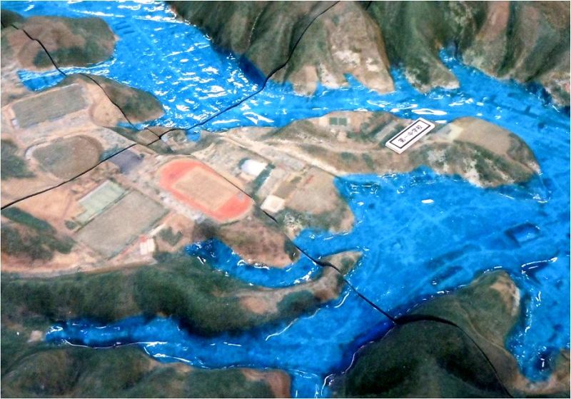
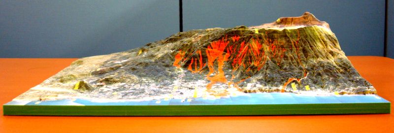
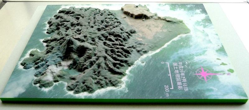
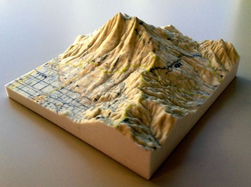
If an ordnance survey map isn't quite enough for intrepid hikers, Japan's geographic agency has now made intricate models of the country available to download and 3D-print for free.
Interested users can head to Japan's Geospatial Information Authority, where maps can be zoomed in on to provide detailed 3D images which can be viewed from any angle. When the user's satisfied with the image they can drag and drop to the desktop for printing later.
What's particularly useful is having the ability to embark on a mini-tour of the landscape before your journey, with the maps providing a basic level of familiarity that just may not be as apparent with 2D maps.
An altogether different but equally intriguing geographic exploration is Invisible Cities, which 3D-mapped metropolises based on their online interactions rather than their physical data.
Discussion